Back to List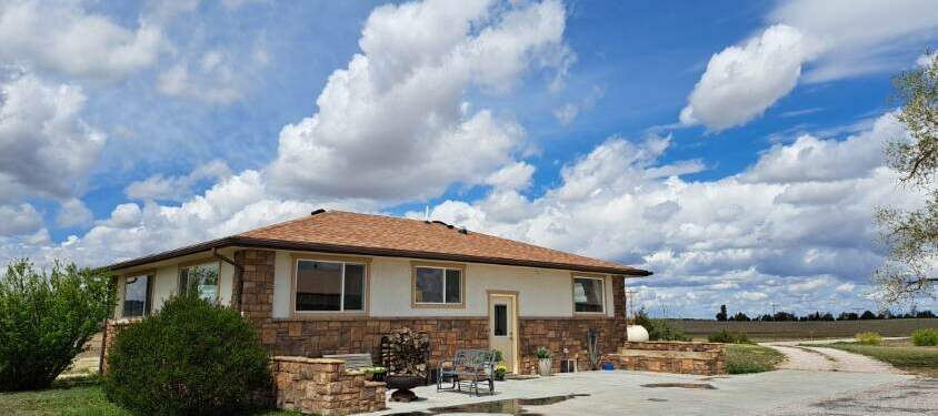 $678,000
View 75 photos
13830 Hwy 2/71 Chadron, Nebraska Home for Sale - 6,100 sq ft Shop
13830 Hwy 2/71 Crawford, Nebraska
Property Details
| Price | $678,000 |
|---|---|
| Style | Ranch |
| Total Property Size | 3.3 Acres +/- |
| Total Square Feet | 2688 Sq Ft. +/- |
| Bedrooms | 4 |
| Bathrooms | 2 |
| Cooling Type | Central Air |
| Heat Type | Gas Forced Furnace |
Property Description
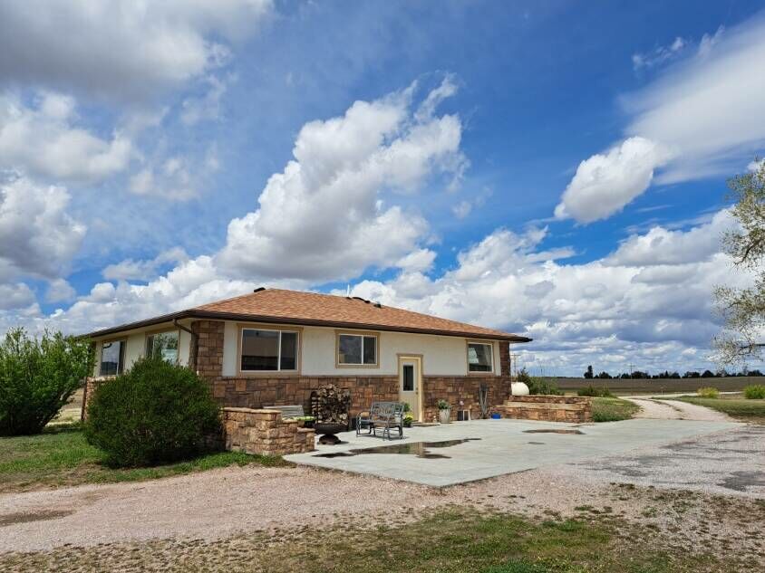
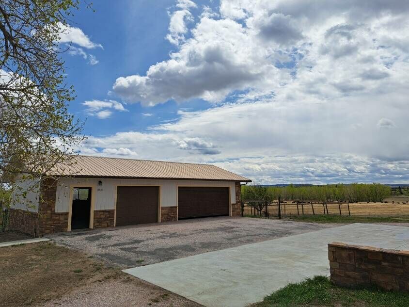
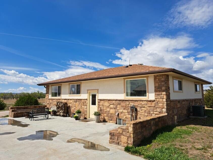
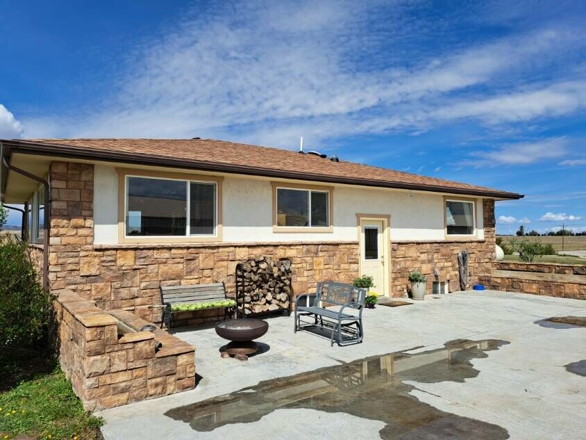
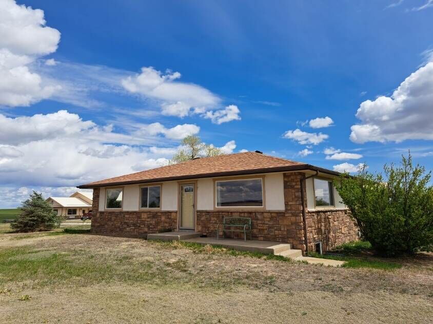
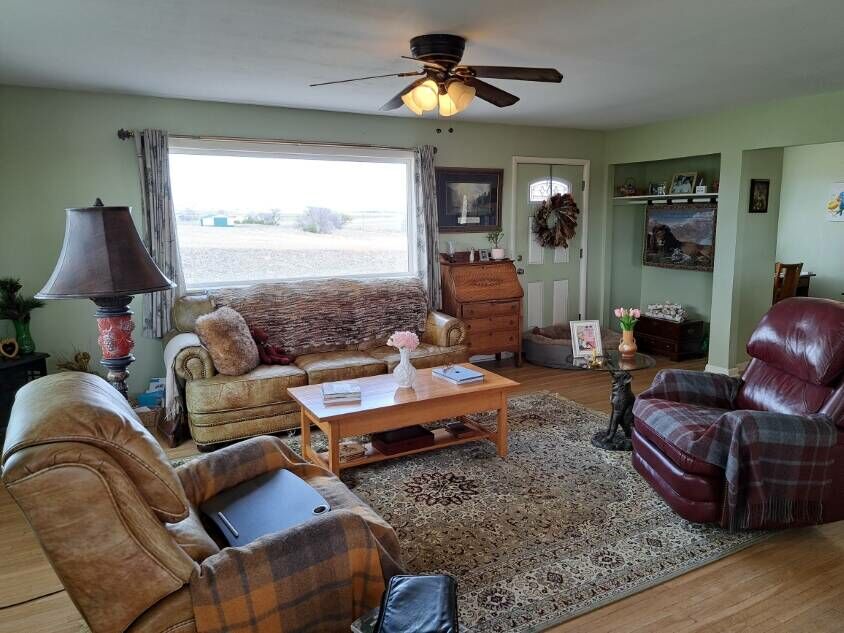
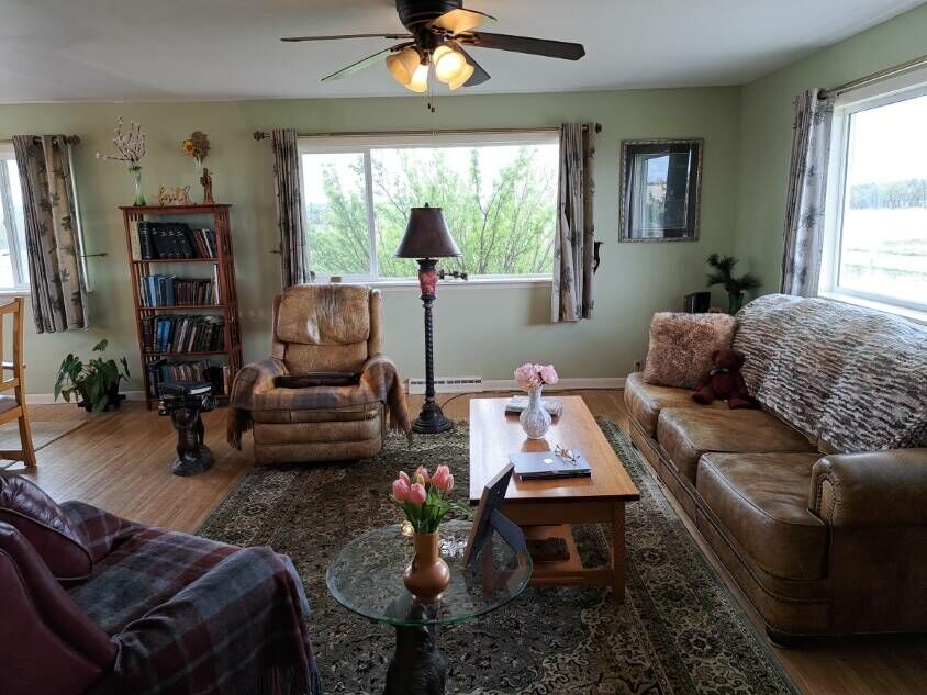
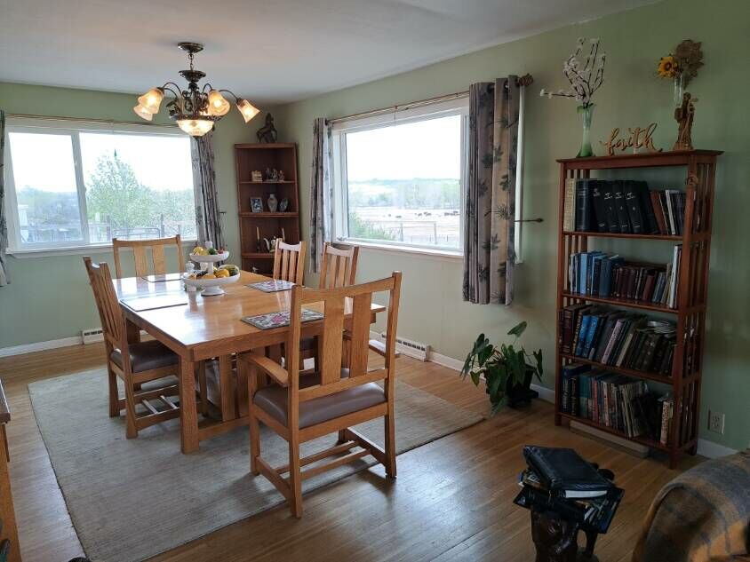
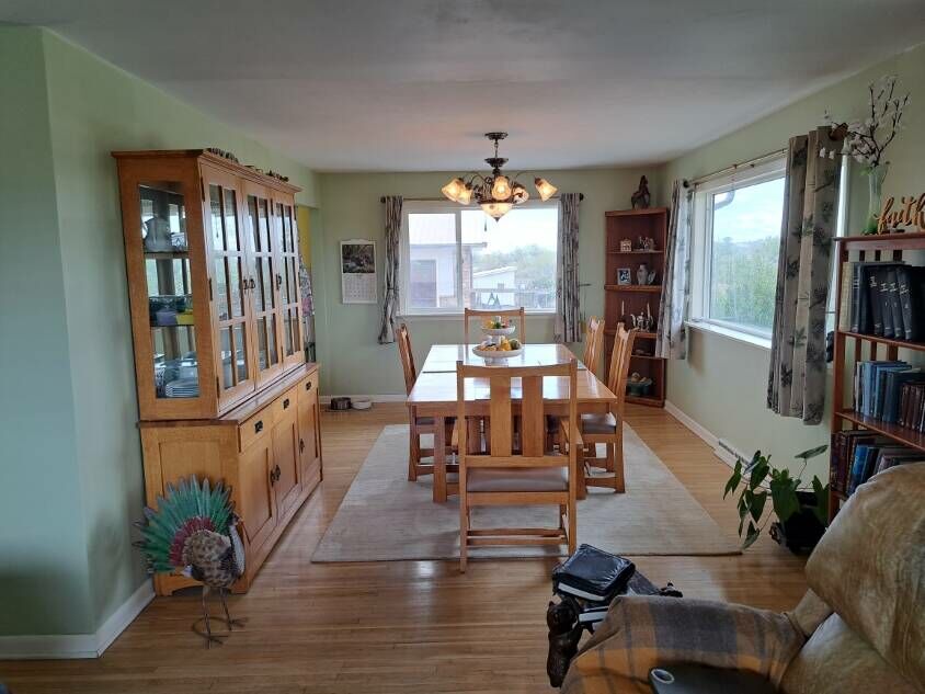
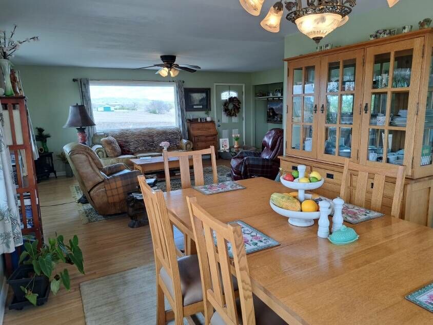
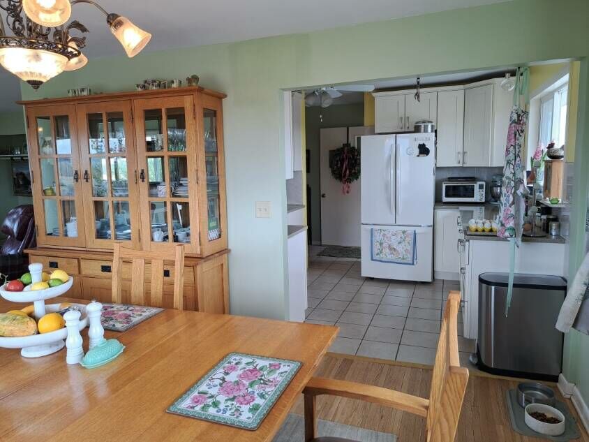
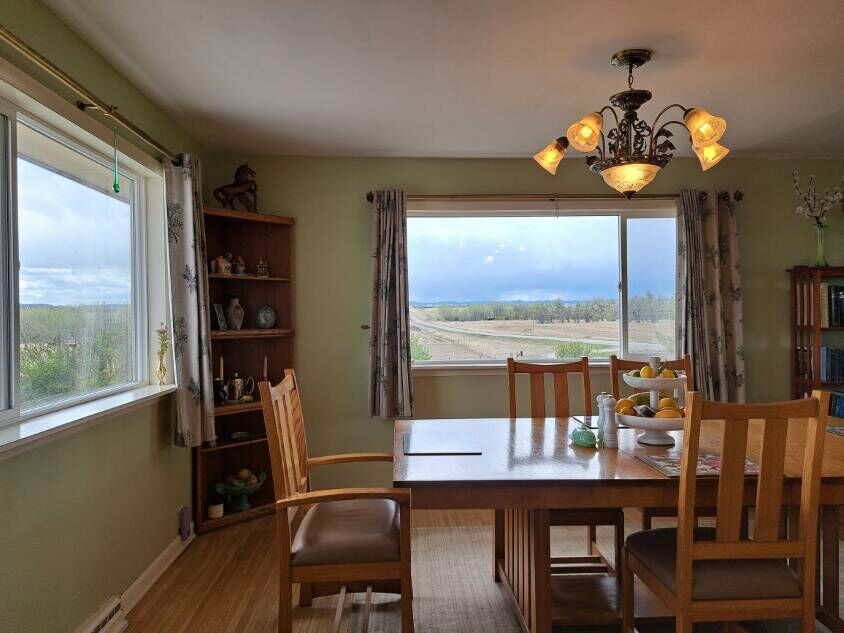
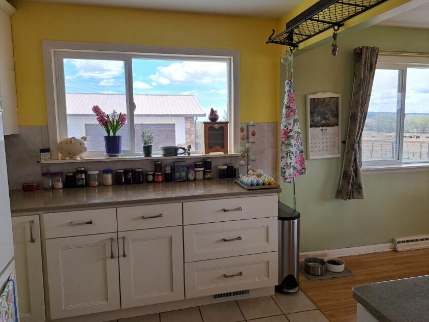
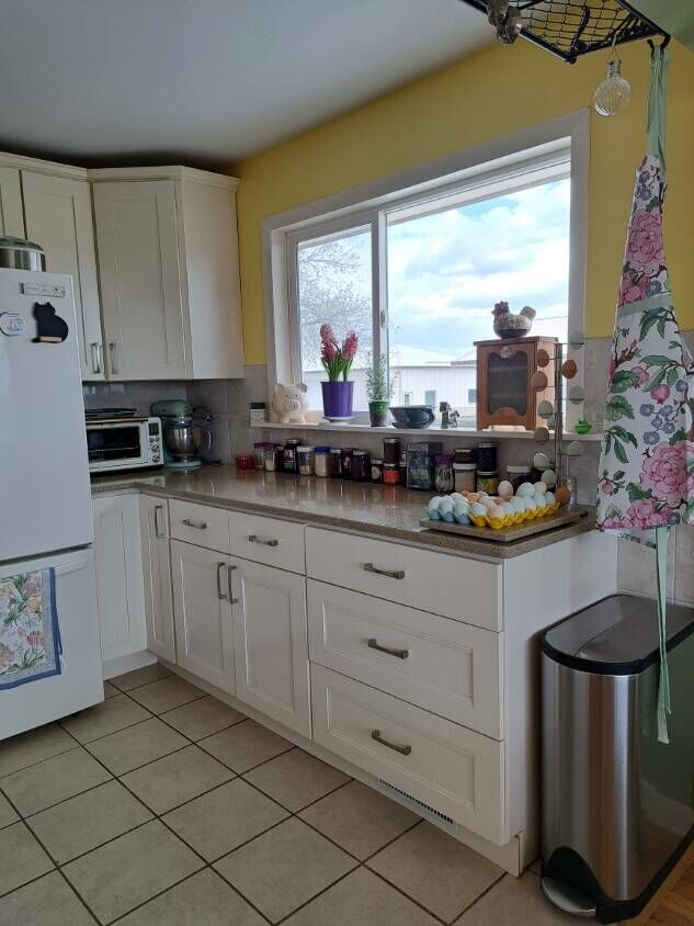
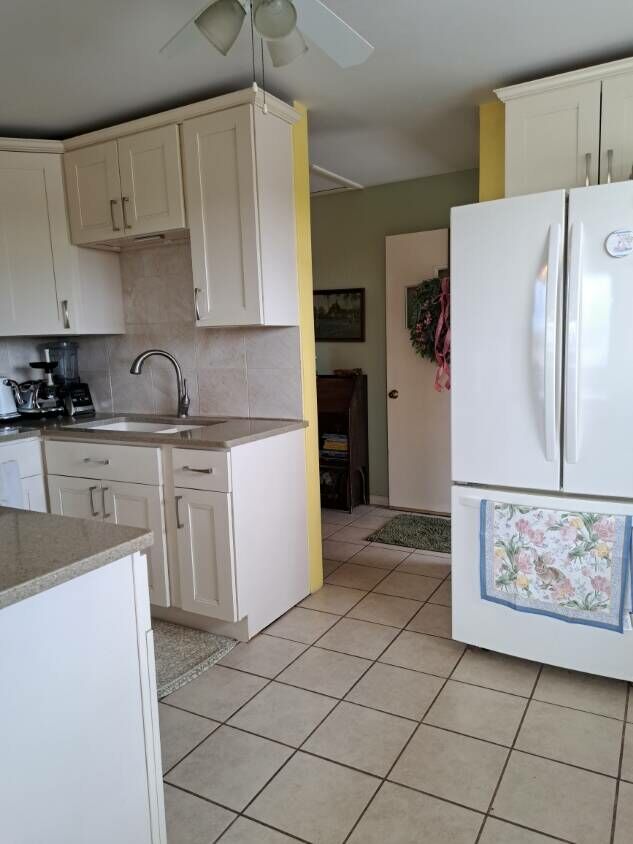
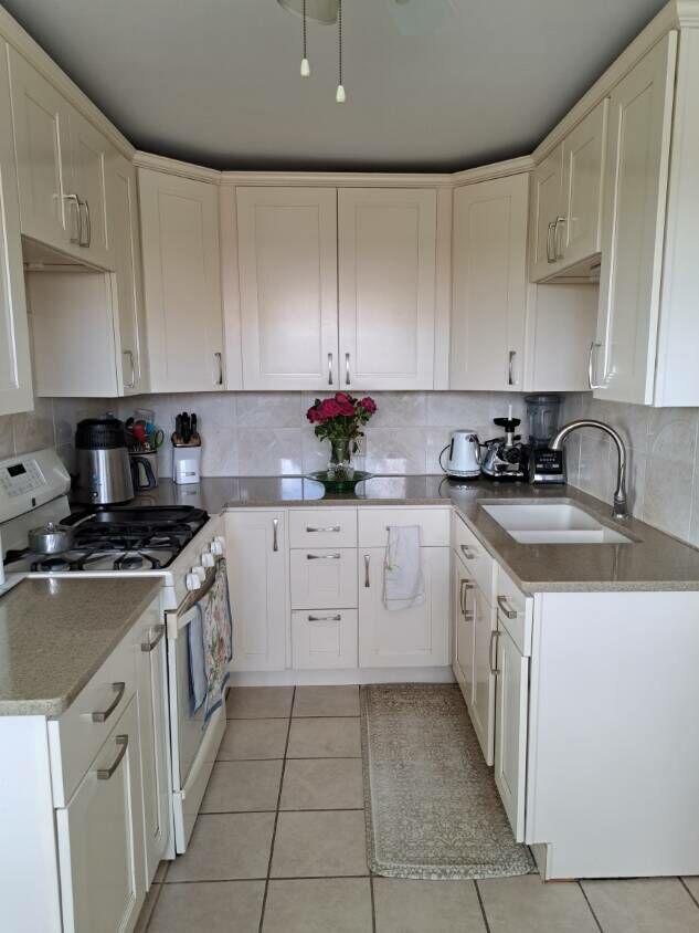
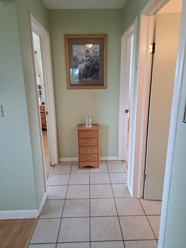
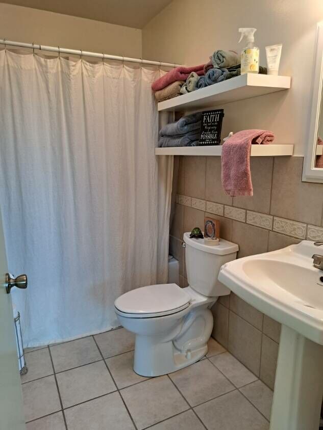
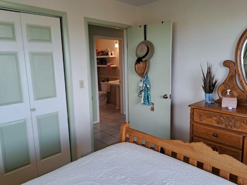
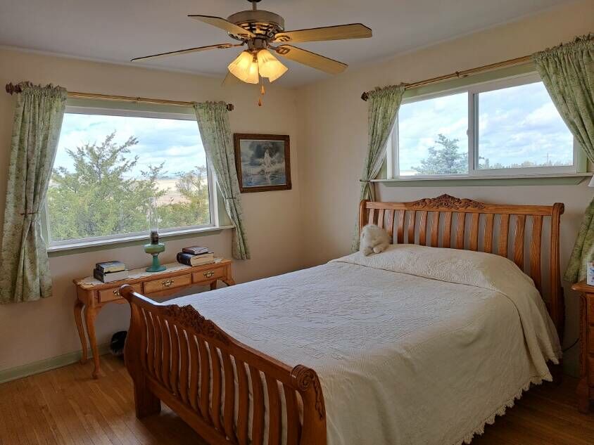
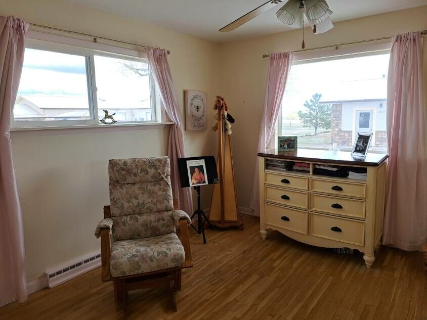
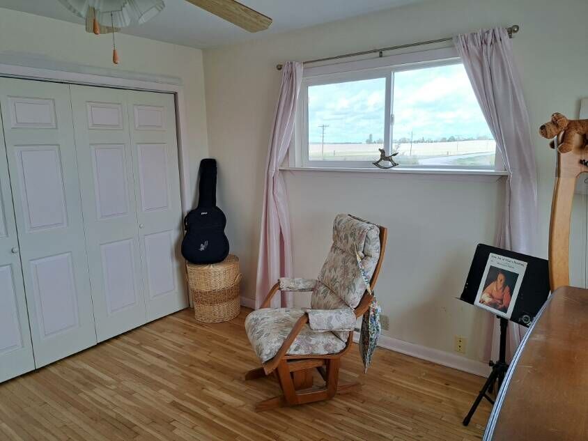
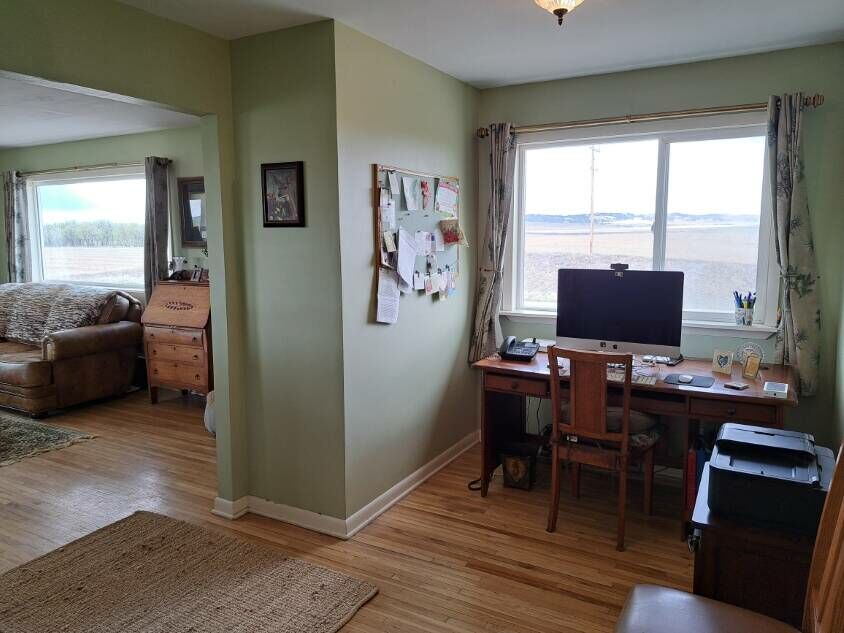
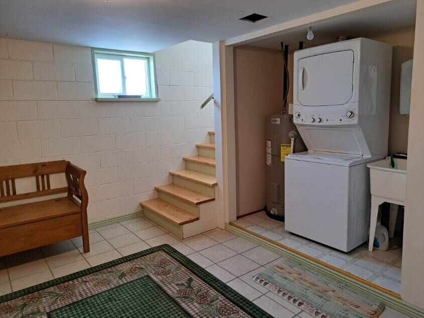
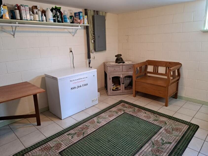
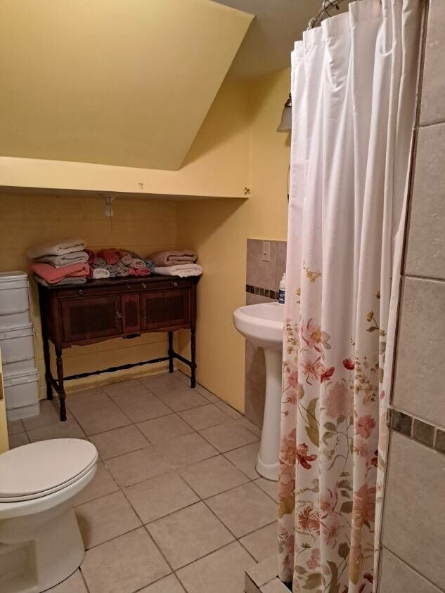
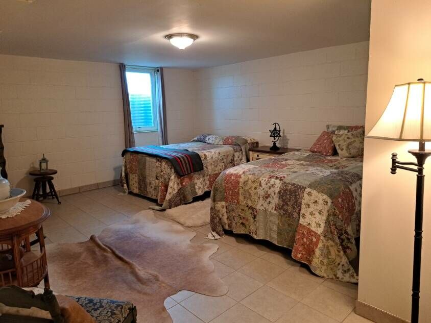
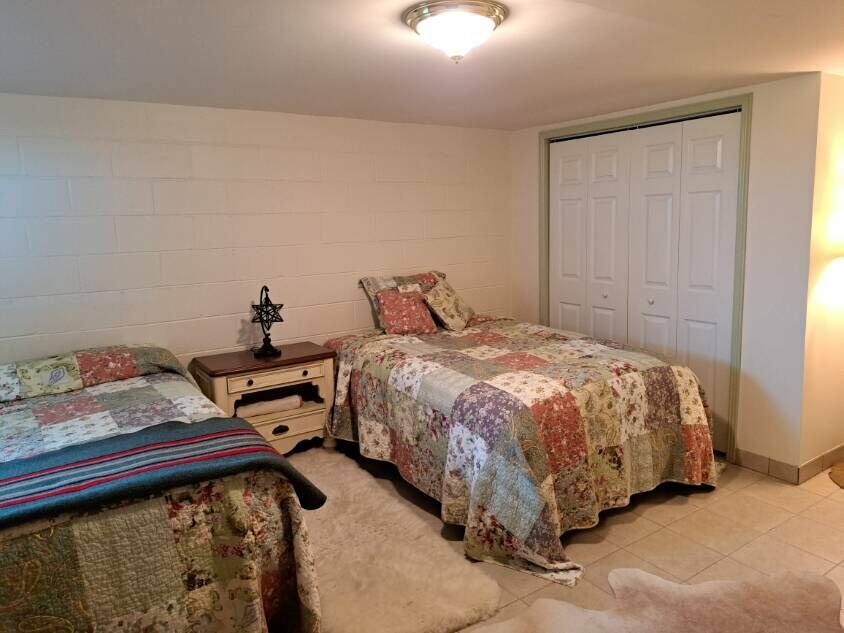
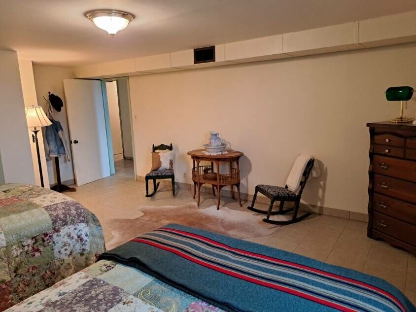
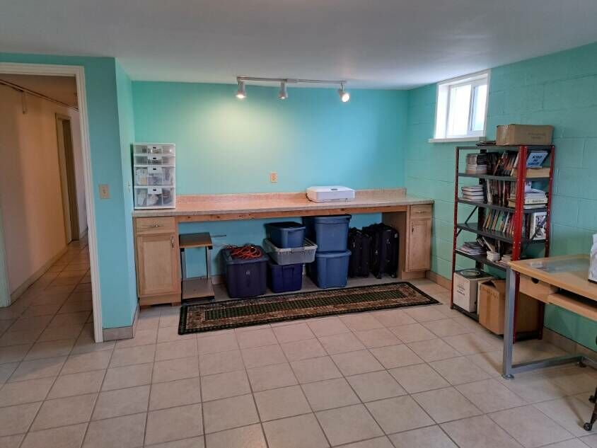
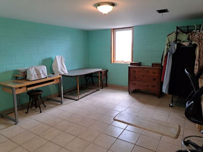
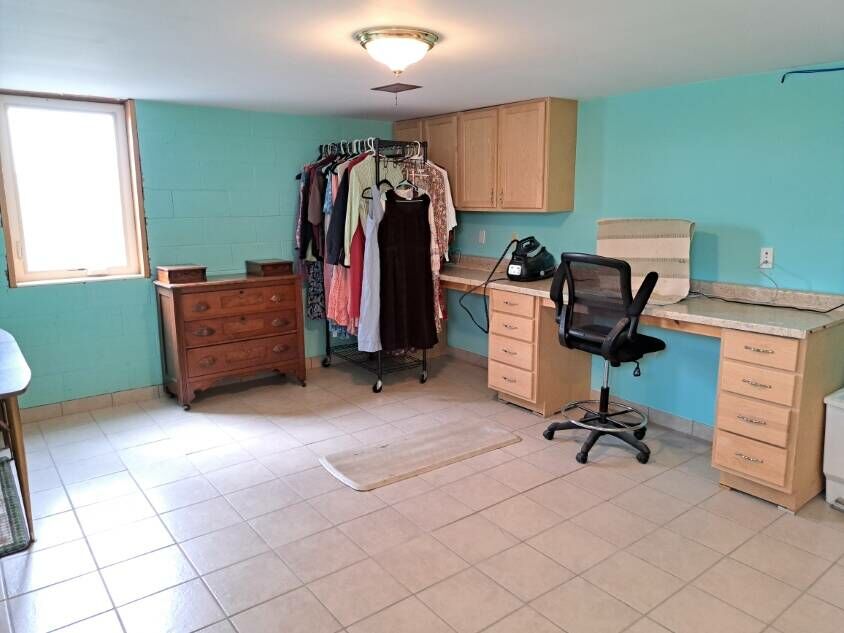
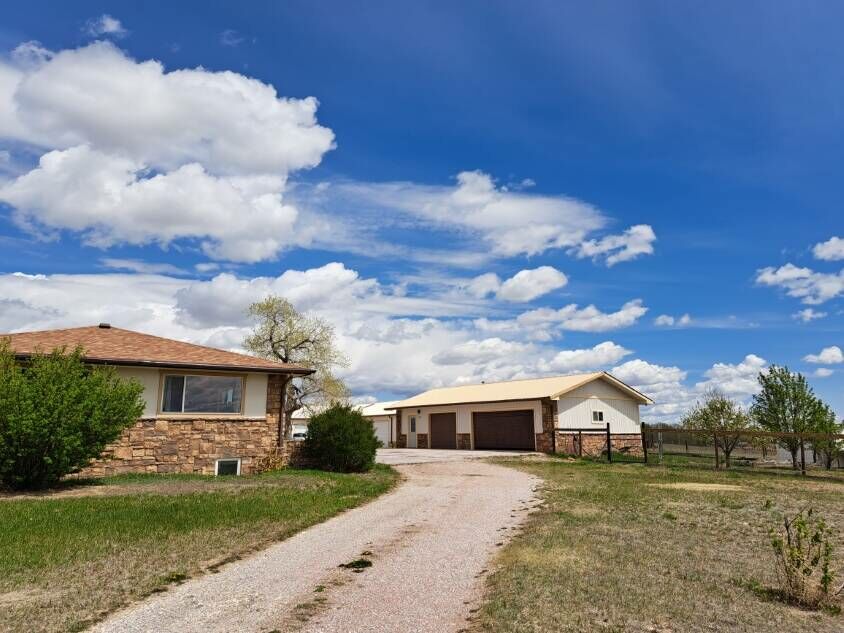
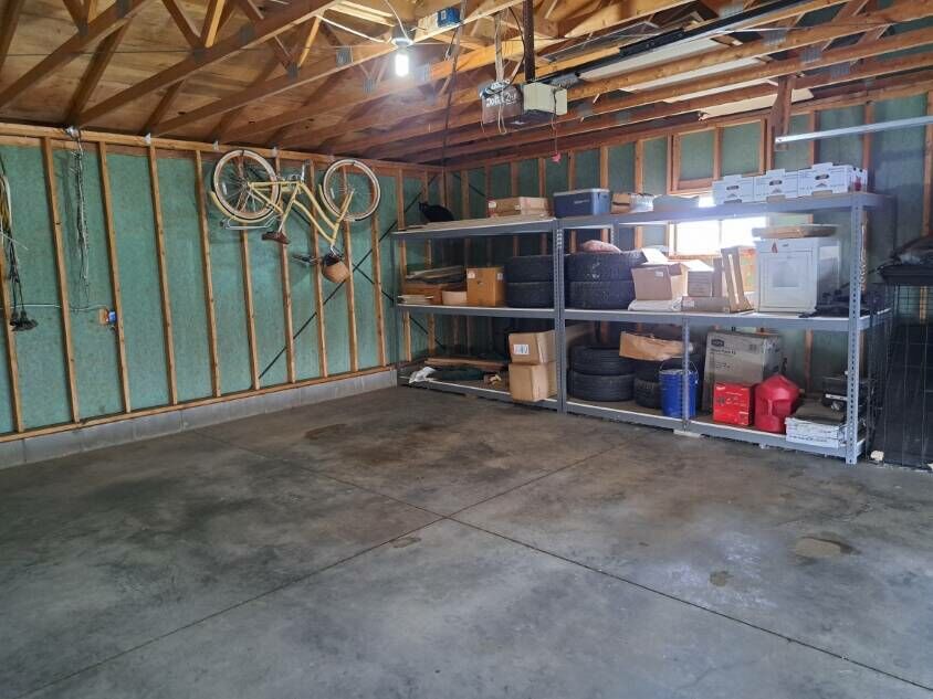
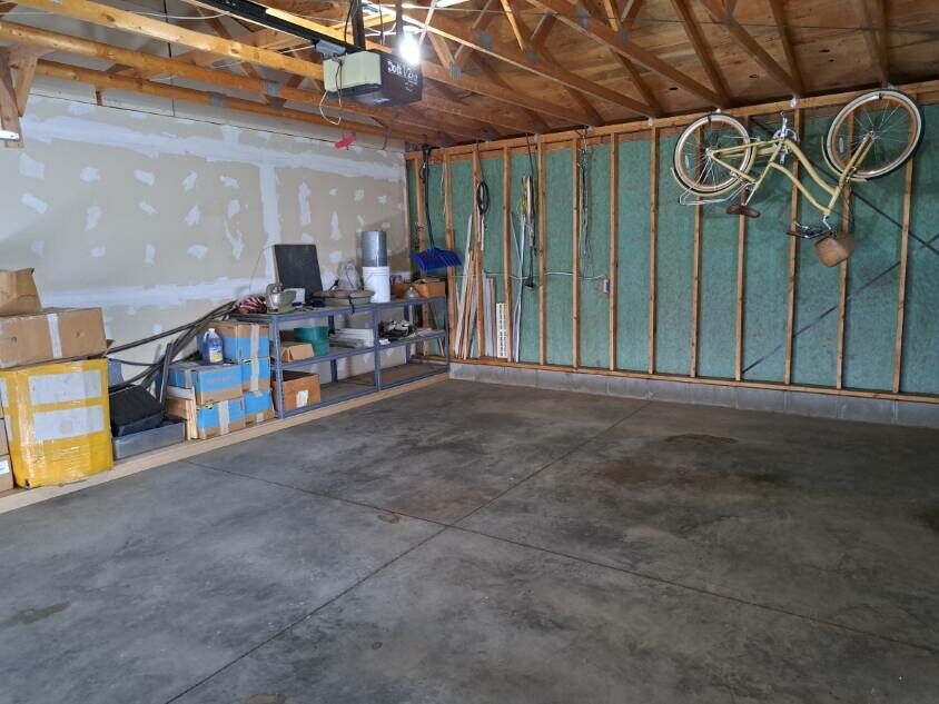
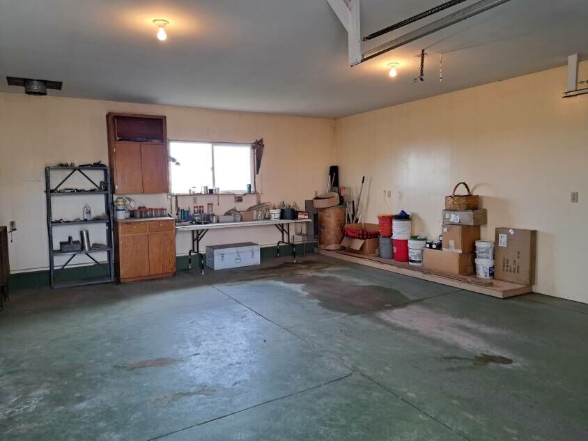
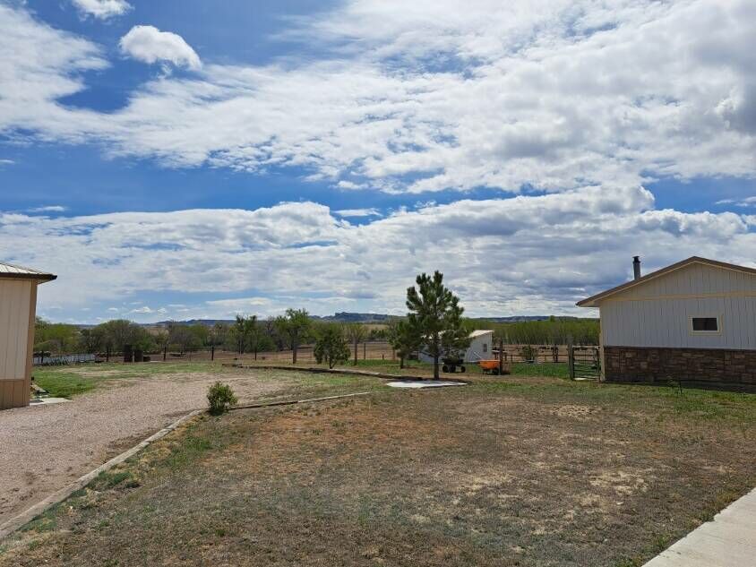
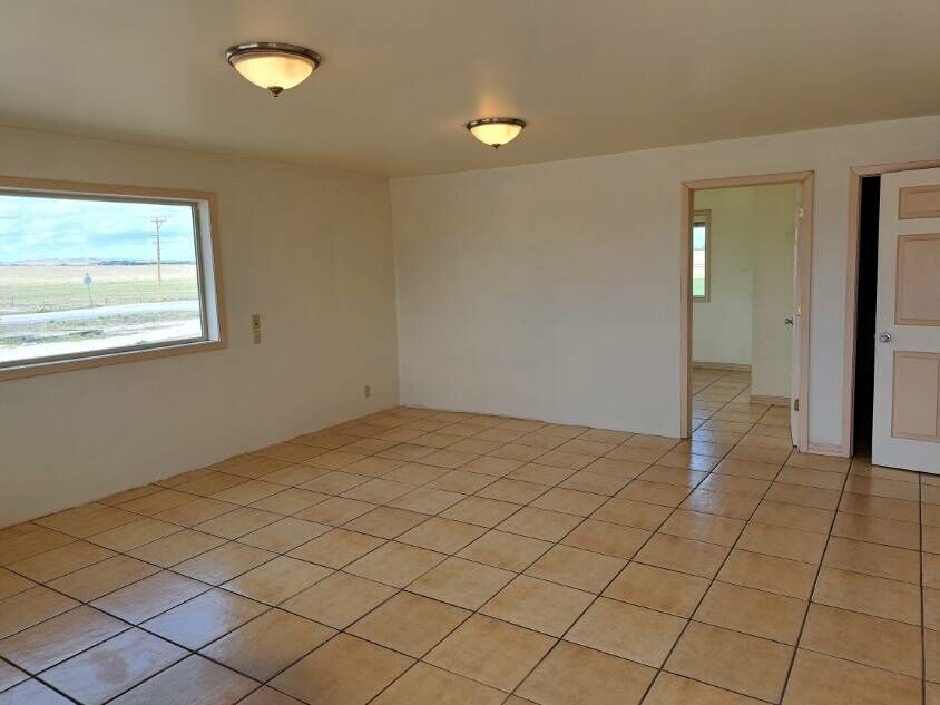
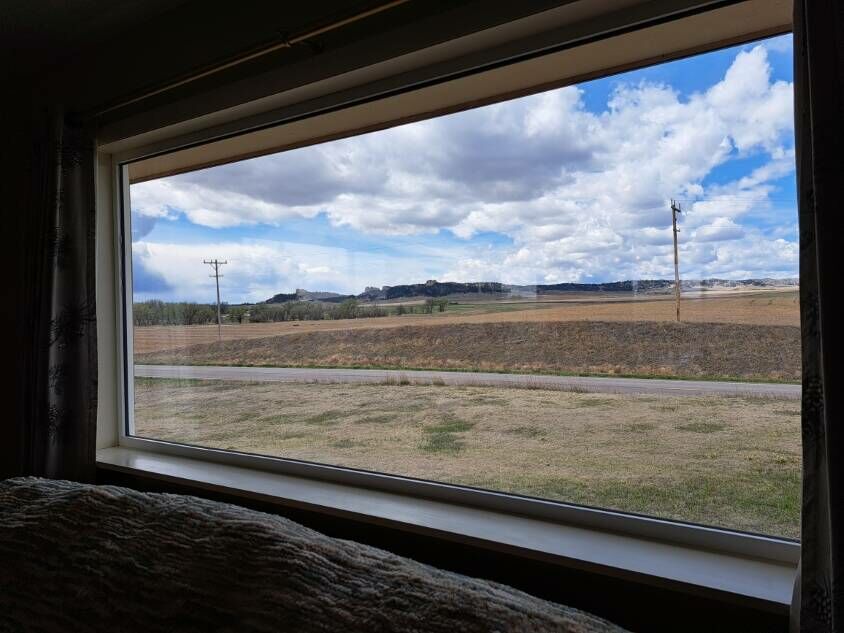
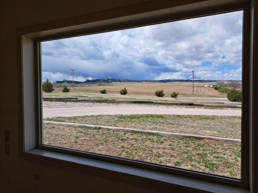
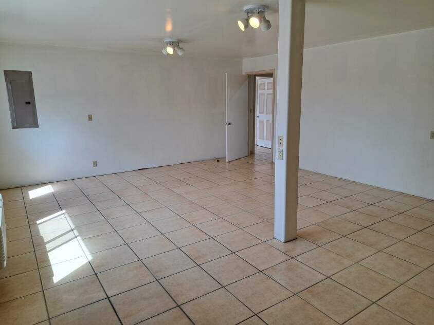
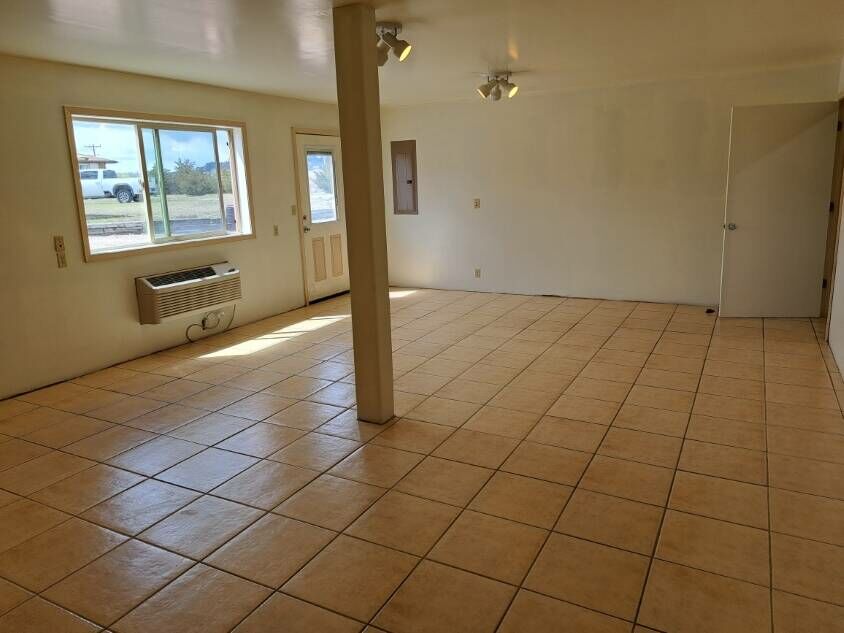
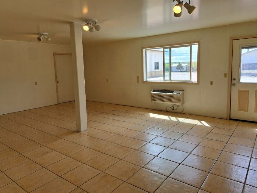
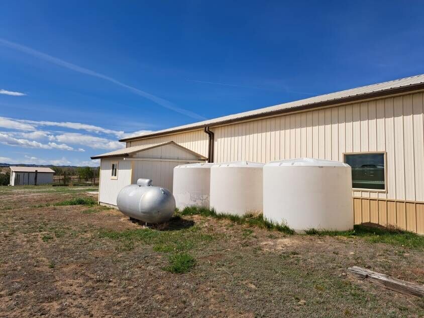
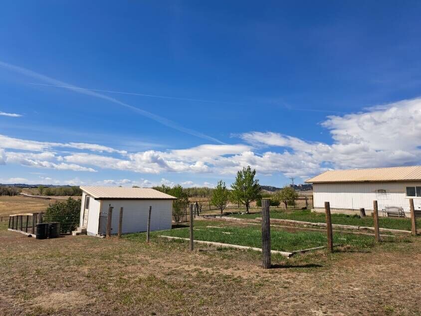
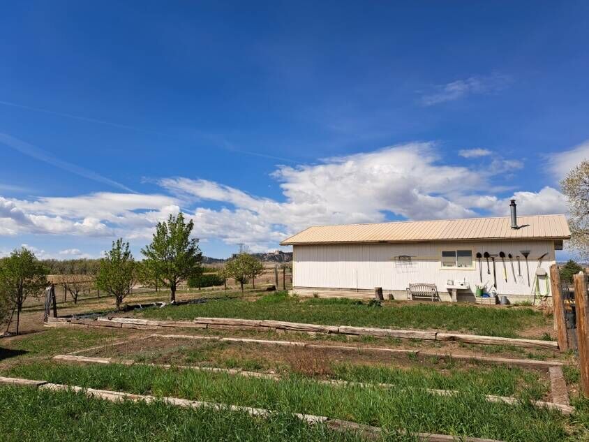
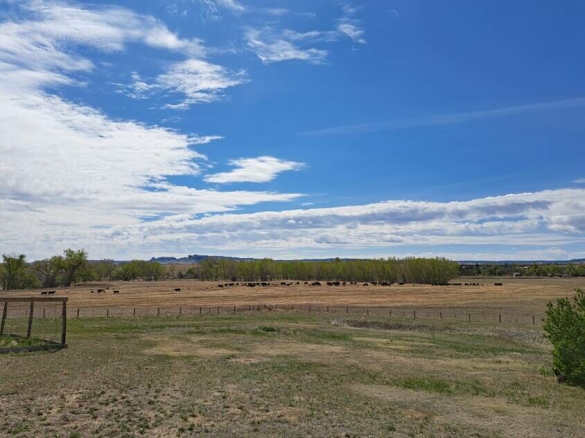
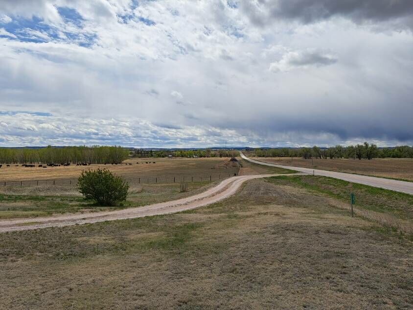
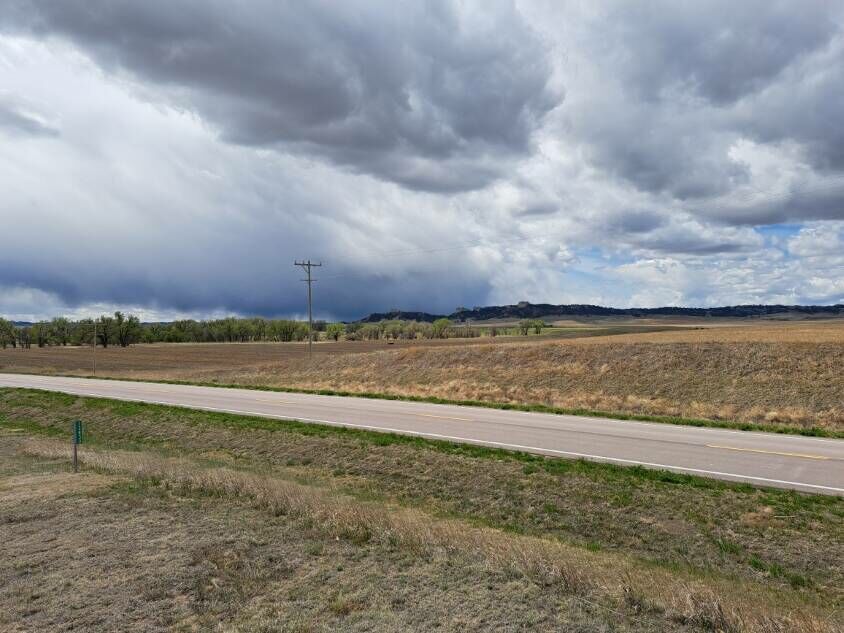
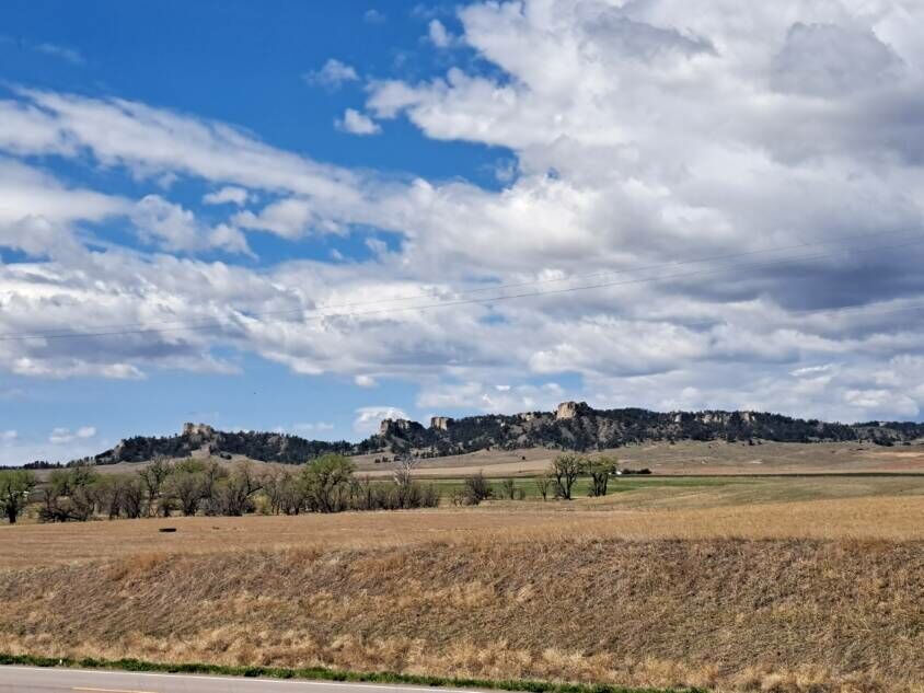
Have a look at this hard-to-find acreage with fantastic views of the scenic Nebraska Pine Ridge and Buttes that overlook historic Fort Robinson State Park. Conveniently located just off the pavement with a private drive, this comfortable home on 3.3 acres has been tastefully renovated. Sunlit Rooms, Large Windows, and Original Hardwood Flooring. Three Car Garage with Workshop Space. Chicken House with Fenced Yard. Fruit Trees. Well House. Rainwater Catchment System.
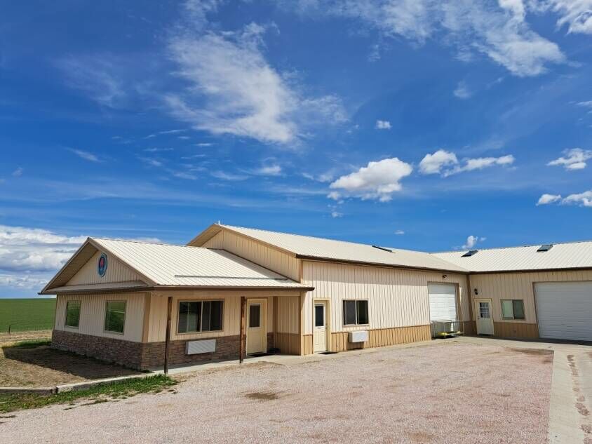
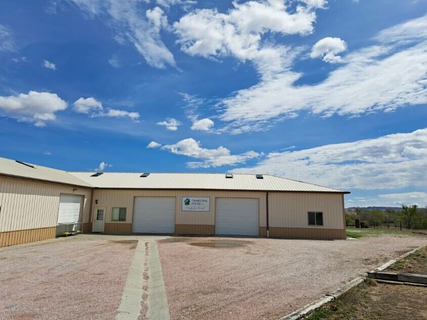
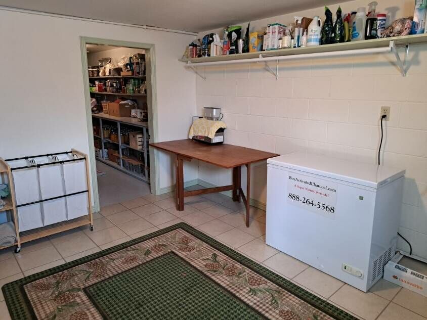
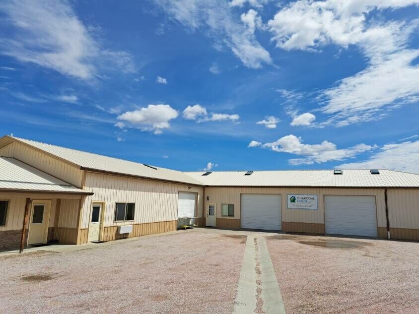
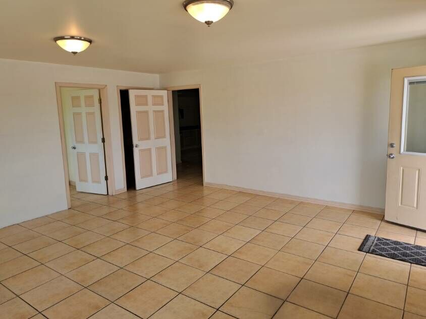
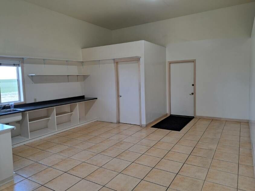
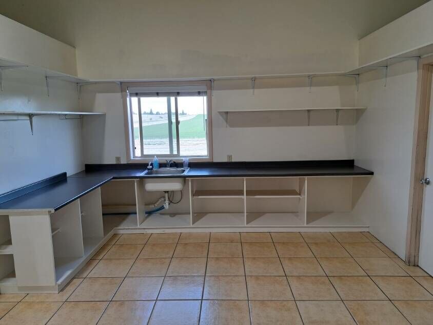
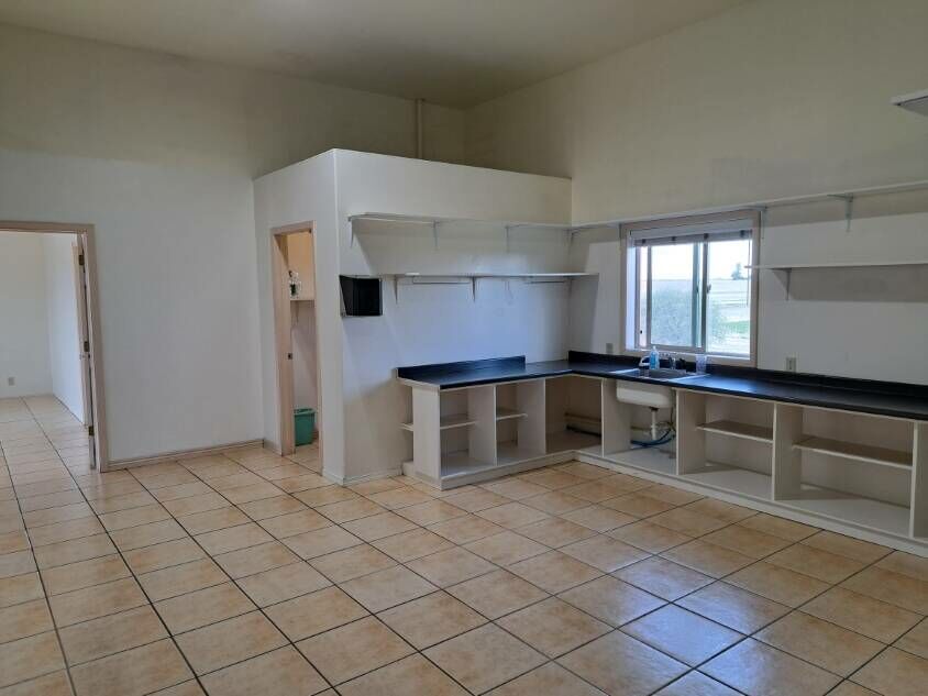
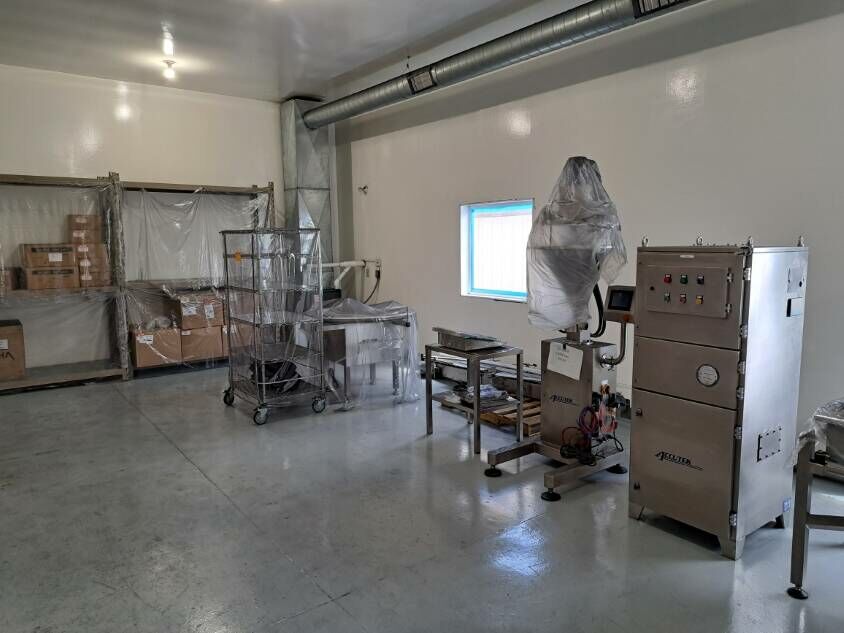
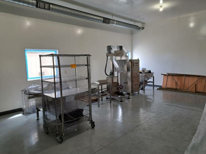
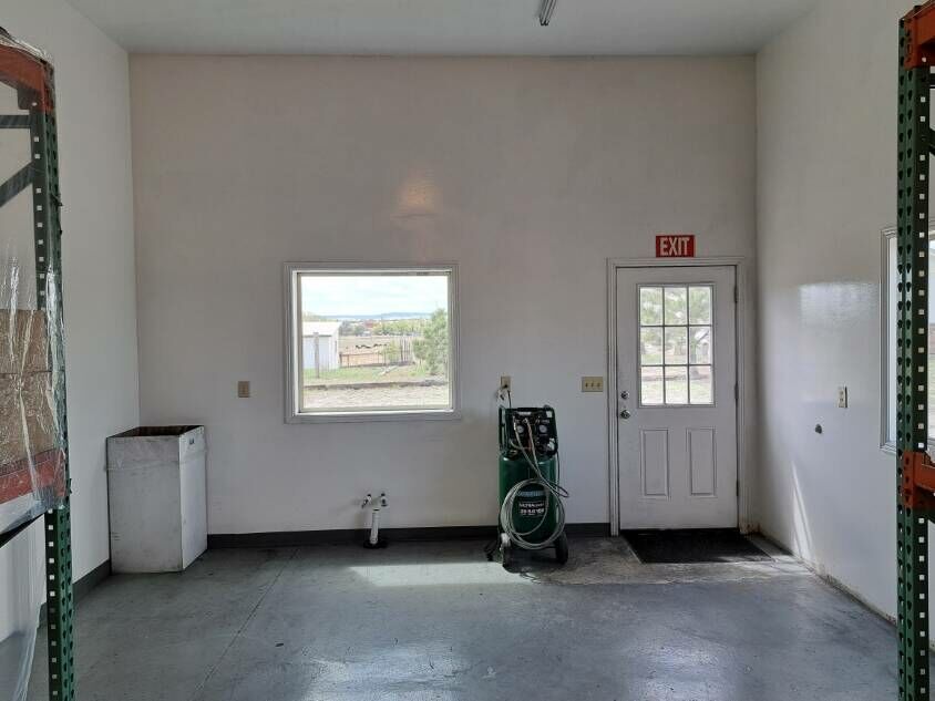
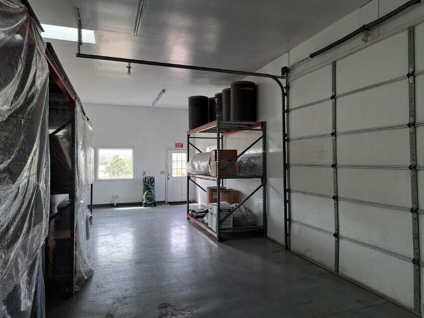
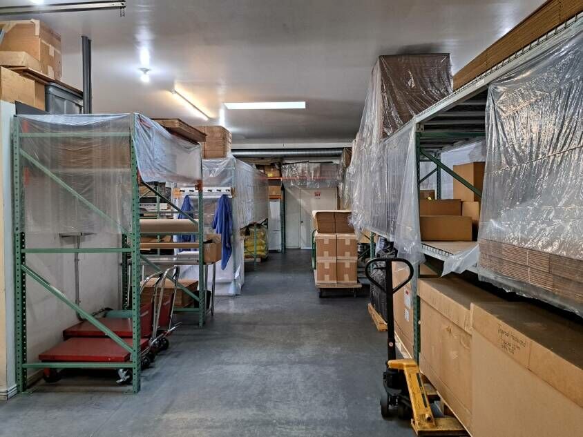
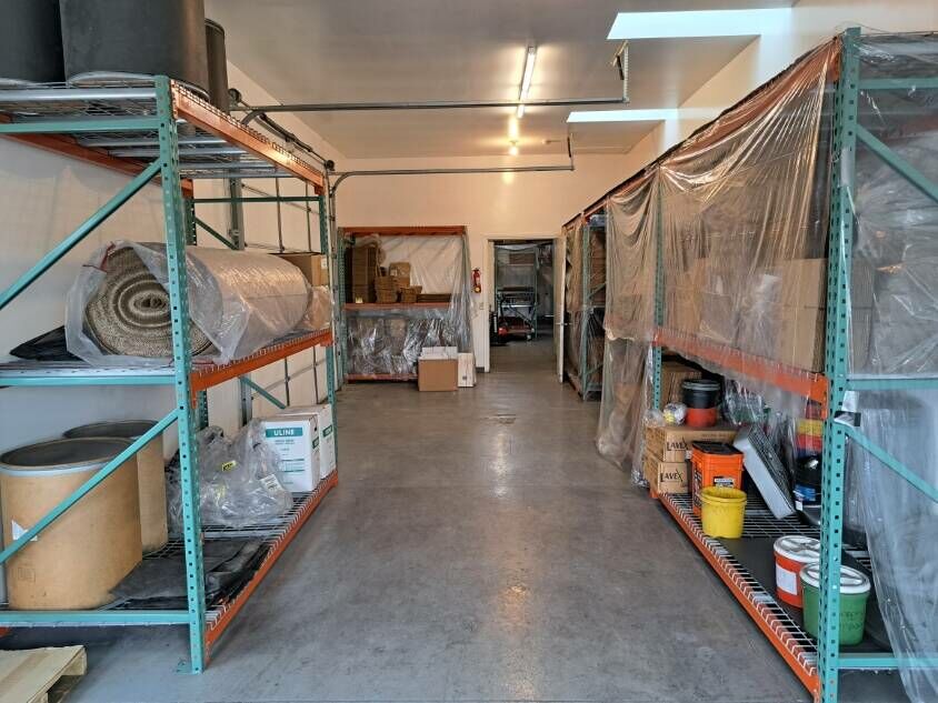
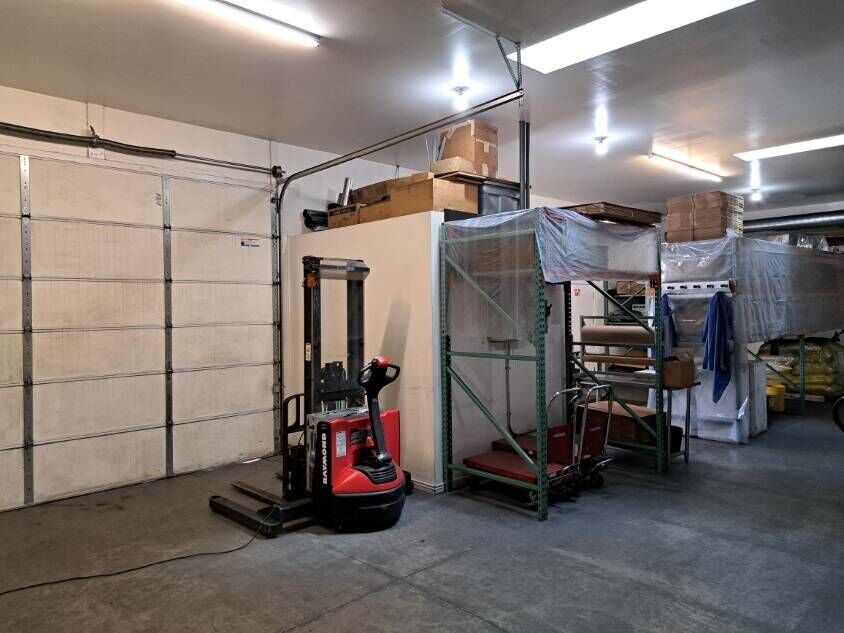
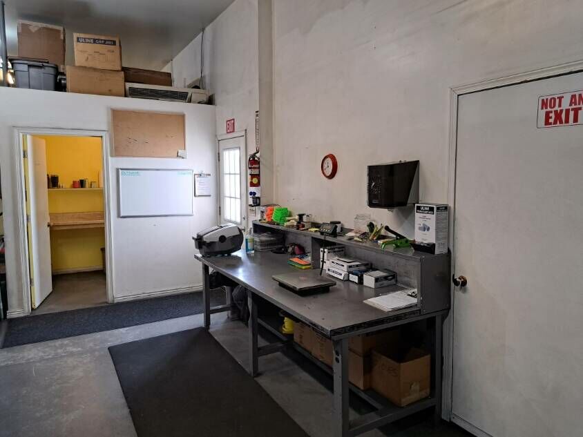
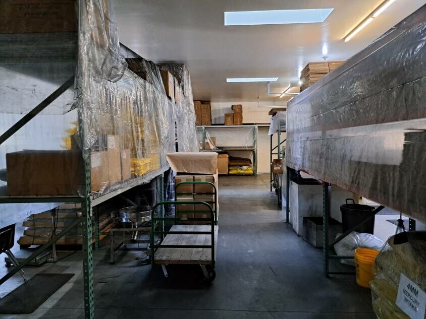
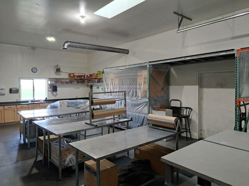
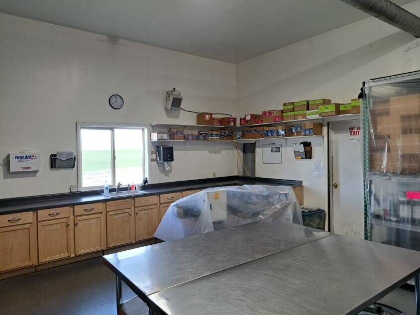
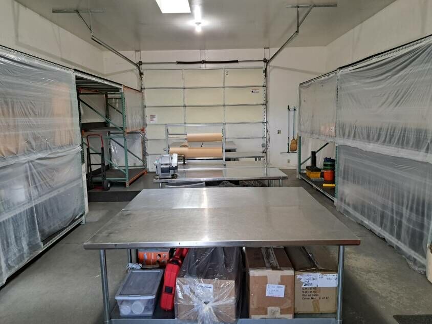
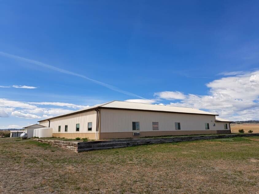
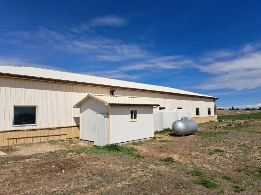
This property also features a 6,100 sq ft Shop/Manufacturing/Warehouse facility with 3 Phase Power and Office Space. You may use it for a commercial endeavor, personal shop with storage or modify the office into extra living space for an accessory dwelling unit. Currently utilized as a warehouse packaging facility.
AERIAL MAP >>> 13830 Hwy 2/71 <<< CLICK HERE
Call Today!
Shown by appointment only
Note – To Confirm a Showing Financial Verification is Required
Dawes County - Butte Country
Perhaps no spot in Nebraska is so surrounded by historical and geographical landmarks as this one. Numerous landmarks of the period of the Indian Wars are visible from here. Crow Butte is the site of a legendary battle between the Sioux and Crow Indians. It was also a pioneer landmark for Indians, Soldiers, and Cattlemen. To the west are the Red Cloud Buttes. From these well-known buttes, one may see the town of Crawford to the east, Fort Robinson to the south, and the site of the Red Cloud Agency to the southeast. The escarpment stretching north from the buttes was also a prominent early landmark. - Nebraska Historical Marker - Historical Land Mark Council
Location
Centrally located between the Colorado Rocky Mountains and the Black Hills of South Dakota. Minutes away from Nebraska’s State Parks and a day-trip drive to Cheyenne, WY, Denver CO, or Rapid City, SD
Local Communities
Crawford, Nebraska is an old-time railroad town now known as
“The Garden Beyond the Sandhills” and “The Big Game Capital of Nebraska”
Chadron, Nebraska Named after mountain man Louis B Chartran the community is the location of Chadron State College offering educational opportunities, cultural and athletic events. Chadron’s amenities include shopping, restaurants, coffee shops and a community hospital providing health care services to the region. Fun Fact – The World Champion Buffalo Chip Throw is held annually during the Fur Trade Days Festival.
Local Area
Historic Fort Robinson State Park located west of Crawford, NE along Highway 20 is a nice regional attraction and vacation destination. The convenient Legend Buttes Golf Course has been rated as one of the most scenic in the United States. The region itself is centrally located between the Colorado Front Range and the South Dakota Black Hills. The nearby Nebraska National Forest and Oglala National Grasslands are both widely known for prime wildlife habitats. Large game species include elk, bighorn sheep, antelope, whitetail and mule deer. Smaller species vary from bobcat, coyotes, prairie dogs and Merriam Turkey. The vast number of acres accessible to the public encompass terrain varied enough to entertain any outdoor fan. Trailheads throughout the Pine Ridge National Recreation Area connect to a nearly endless combination of trails available for hiking, trail riding, biking and camping. There are also trails for ATV and motorcycle use in limited areas. The area is also acknowledged for its cache of prehistoric fossils, rare rocks and beautiful wildflowers. Nearby State Wildlife Management Areas are the Peterson WMA, the Soldier Creek WMA, the Ponderosa WMA and the Bighorn WMA each offering additional opportunities for outdoor activities.
Airports
The Chadron Municipal Airport (CDR) is located 5 miles west of
Chadron, NE, or 20 miles east of Crawford, NE, on State Hwy 20.
Daily flights with services to Denver International Airport (DIA).
The Rapid City Regional Airport (RAP) is located 8 miles southeast of
Rapid City, SD offers commercial flights as well.
List Price
$678,000
Conditions of Sale
- All offers shall be submitted in writing.
- Earnest money shall be no less than 5% of the agreed upon sale price.
- Earnest money deposits shall be held in the listing broker’s trust account until the date of closing. (Western View Real Estate Trust Account)
- The cost of title insurance issued and title company closing fees for this sale shall be split equally between buyer and seller.
- Buyer and seller shall be responsible for their own attorney’s fees if any.
- The seller reserves the right to a 1031 tax deferred real estate exchange with no liability or expense to the buyer.
- When purchasing a property listed by Western View Real Estate, a Buyer's Broker, if applicable, must be identified on first contact and must be present at the initial showing of the property in order to participate in a real estate commission. If these conditions are not met, Buyer’s Broker compensation, if any, will be at the sole discretion of Western View Real Estate.
Inquiries to Philip J Rosfeld, Broker, Western View Real Estate
For Additional Information You May Also Contact
Donny Grantham, Sales Associate, 308-430-4678
Jessica Brueckner, Broker Associate, 308-430-4094
Bradi Fisher, Nebraska Sales Associate, 605-407-2899
Western View Real Estate, 308-432-6828
Listing Agent

Philip J Rosfeld, Real Estate Broker/Owner Licensed South Dakota & Nebraska
NE License #20020452 SD License #13155philip@westernviewrealestate.com
| Office Phone: | (308) 432-6828 |
|---|---|
| Mobile Phone: | (308) 430-5151 |
Request More Information
Thank you for your interest in this property. Complete the form to request more information.
All information has been provided by sources deemed reliable, however accuracy is not guaranteed. Prospective buyers are responsible to verify all information to their satisfaction. Offering is subject to approval of purchase by owner, prior sale, price change, correction, or withdrawal without notice. There may be variations between the property boundary & the location of existing fences. There may also be variations as to the specific acreage within the boundary of the property. Seller makes no warranties in this regard. Maps are based upon legal description and not to scale. The location of the property boundary and existing fences is approximate. Maps are for visual aid with accuracy not guaranteed.